BOUNDARY & TOPOGRAPHIC SURVEYS
Boundary & Topographic Surveys for Accurate, Buildable Projects
Highly accurate surveys to support permitting, utility design, stormwater planning, and development feasibility.
Blue Trust provides professional, engineering-ready Boundary Surveys and Topographic Surveys through our trusted partner surveyors. Every survey is prepared to meet the requirements of Florida cities, counties, SWFWMD, FDEP, and utility agencies.

What Is a Boundary & Topographic Survey?
A Boundary Survey defines the exact property lines, corners, easements, encroachments, and legal limits of your site.
A Topographic Survey (Topo) maps the elevations, grading, and physical features of the land. These two surveys form the foundation of EVERY engineering plan, including:
- Civil design
- Stormwater design
- Utility design
- Permitting
- Site development
- Feasibility analysis
- Construction layout
Without an accurate survey, projects stall, permitting is delayed, and designs must be revised — costing you time and money.
Why You Need a Survey Before Anything Else
Surveys Are Required For:
- Stormwater & drainage design
- Utility design (water, sewer, lift stations)
- Permitting submissions
- ERP applications
- Boundary dispute resolution
- Site layout and development
- FEMA or flood-related evaluations
- Easement verification
- Environmental planning
- Utility-related permits
Every city, county, and water management district (especially SWFWMD) requires accurate existing-conditions surveys before any engineering plan is accepted.
Blue Trust ensures you start your project with the right survey, prepared correctly, and aligned with agency standards.
Survey Services We Provide
Boundary Surveys
- Property lines & corners
- Easement identification
- Encroachment detection
- Legal description updates
- Plat comparison & verification
Utility Location Surveys
- Water & sewer system mapping
- Force main & gravity sewer
- Manholes, valves & hydrants
- Stormwater inlets & culverts
- Lift station components
Topographic Surveys
- Elevations & contour mapping
- & Drainage patterns
- Pond, pipe, & structure locations
- Banks, berms, & grading
- Road elevations & tie-ins
Construction-Ready Deliverables
- CAD files for engineers
- PDF survey exhibits
- Benchmark/vertical control
- Stamped drawings
- Digital copies for permitting
Why Blue Trust Surveys Are Better
Accuracy, clarity, and engineering alignment.
Most surveys are created for general real estate purposes. Blue Trust ensures your survey is engineered for:
- Stormwater design
- Utility design
- Permitting
- Environmental review
- Construction accuracy
We coordinate directly with the surveyor to ensure:
- Correct vertical datum
- Accurate spot elevations
- Correct utility callouts
- Proper tie-in points
- SWFWMD-compliant contour spacing
- Compatible CAD layering for engineering plans
This saves weeks of redesign and prevents expensive mistakes.
How Blue Trust Handles Surveying
Licensed, Accurate, Engineering-Ready Surveys — Without the Hassle
Blue Trust coordinates all Boundary and Topographic Surveys through licensed Florida survey professionals to ensure every deliverable meets the requirements of:
- City & County Utility Departments
- SWFWMD / SFWMD / FDEP
- Building Departments
- Civil engineering integration
Every survey is produced to be:
- Highly accurate
- CAD-ready for engineering plans
- Compliant with agency standards
- Prepared with proper vertical & horizontal datums
You get one point of contact — Blue Trust — handling everything from ordering to final delivery.
CIVIL ENGINEERING SPECIAL SERVICE:
LAND DEVELOPER: THE BLUE TRUST REPORT
NOT SURE WHAT
CAN BE DEVELOPED
ON YOUR SITE?
CAN BE DEVELOPED
ON YOUR SITE?
Residential
Commercial
Due Dilligence Report
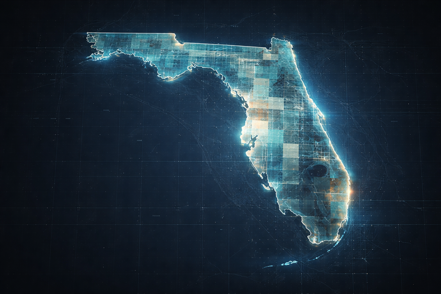
Florida's Statewide Land Development Due Diligence Report
Blue Trust provides standardized statewide Florida land-development due diligence reports for developers, investors, and property owners. Each report delivers a clear snapshot of zoning, permitting paths, utility access, and estimated permitting costs—so you can understand a property's potential without the confusion. Get a complete development outlook before you commit.
Blue Trust provides standardized statewide Florida land-development due diligence reports for developers, investors, and property owners. Each report delivers a clear snapshot of zoning, permitting paths, utility access, and estimated permitting costs—so you can understand a property's potential without the confusion. Get a complete development outlook before you commit.
Before you begin design, you need to understand:
- What your property is zoned for
- What utilities are available
- Whether the site can support your vision
- What permitting will be required
- Capacity constraints for water, sewer, & storm
- Environmental or drainage red flags
- Estimated costs and feasibility
Blue Trust created Land Developer: The Blue Trust Report — a clear, developer-friendly Due Diligence document that outlines EVERYTHING you can and cannot build on your site. This report is the Gold Standard for early-stage development evaluation in Florida.
Start Your Project With an Accurate Survey — Engineered for Real Results
Whether you need a boundary survey, topo survey, or full utility mapping, Blue Trust ensures you get the right deliverables, produced the right way, and usable for every regulatory agency.